
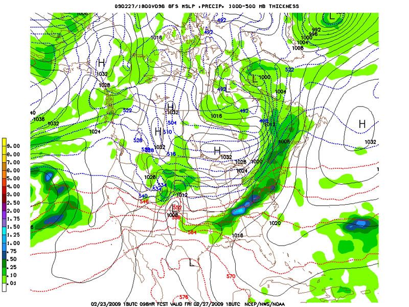
Some areas in NYS will be susceptible to flooding as this storm moves through, as the rainfall and seasonably warm temps will eat away at the snow pack. Icy sidewalks and pavements will also be a concern during the overnight hours, as the temps drop into the 10s and 20s. The GFS ensemble and other MREF forecasts are in close enough agreement with this storm for me to be pretty confident with this forecast.
The 18z GFS has also included a big storm into the Sunday forecast:
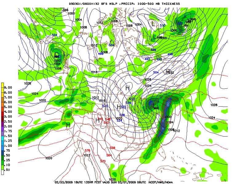
Do not be fooled, though. This run appears to be an outlier, as the GFS ensemble forecasts show the vast uncertainty that comes along with this second system. The ECMWF has quite a different solution, with the storm diving further south and making its way up north on Monday instead.
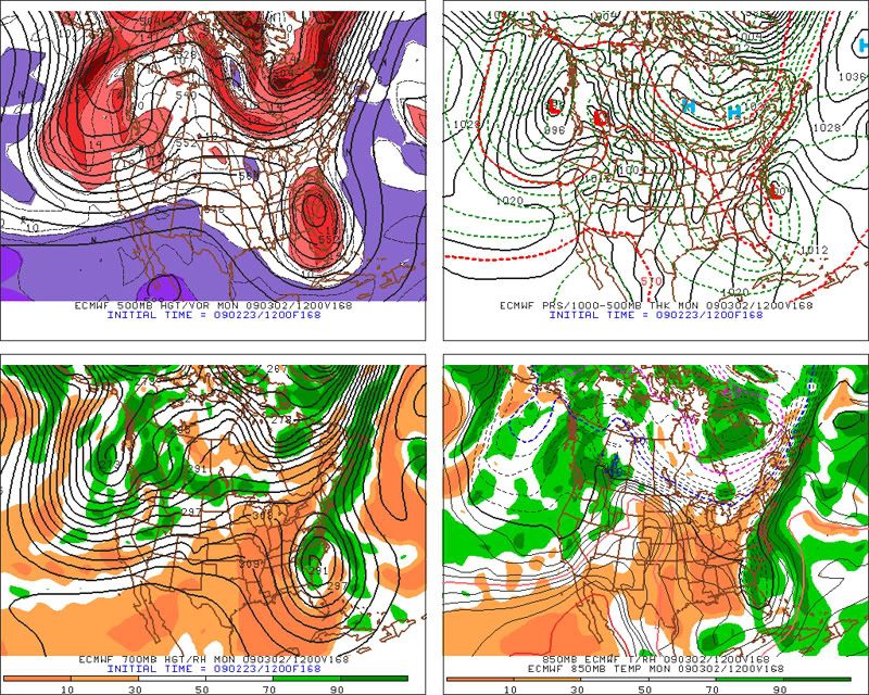
As you can see, there are very different solutions for this second storm, so much can't be said about it at this time. The main low could track west of the Appalachians, or hug the coast as it moves northward. There are also solutions that have no precip for NYS, so anything can happen at this point.

No comments:
Post a Comment