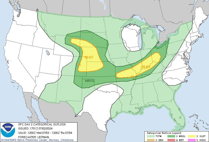
The SPC Day 2 outlook right now has NYC under a SLGT, with a 15% categorical outlook. A series of shortwave troughs are expected to help amplify the weak zonal pattern we've had for weeks. SBCAPE should build throughout the day to over 3000 J/kg after 1800 UTC.

This is the NAM's forecast precipitation/pressure/isotherms for 00UTC 27 June 2009. Other more high-resolution models show much more precip, and PWATs are progged to be at least 1.5 inches. Here is the SPC forecast:


Upper level jet dynamics are decent, with a 60-kt jet streak at 250-hPa with NYC being placed in the right entrance region. Strong cyclonic vorticity advection at 500-hPa is present and the GFS is most aggressive with the negative tilting of the trough. Mixing rations of 12+ g/kg are present, so our atmosphere will be nice and moist.
More updates will follow as I try to stay awake.


No comments:
Post a Comment