Thursday, June 25, 2009

NYC Severe Weather Threat for 26 June 2009

Well after what seems like an eternal wait, New York City is in the middle of a nice big SLGT by the SPC. The beginning of this week was plagued by a pesky upper-level cut-off low parked near Cape Cod, bringing rain showers and below-climo temps to our region. Finally, we have a nice set up for hot summer days and good convection.

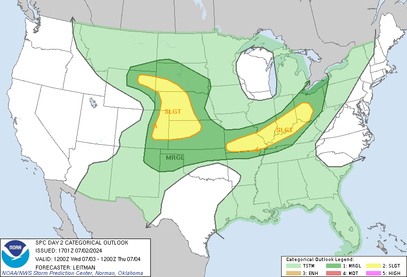
The SPC Day 2 outlook right now has NYC under a SLGT, with a 15% categorical outlook. A series of shortwave troughs are expected to help amplify the weak zonal pattern we've had for weeks. SBCAPE should build throughout the day to over 3000 J/kg after 1800 UTC.


This is the NAM's forecast precipitation/pressure/isotherms for 00UTC 27 June 2009. Other more high-resolution models show much more precip, and PWATs are progged to be at least 1.5 inches. Here is the SPC forecast:


Upper level jet dynamics are decent, with a 60-kt jet streak at 250-hPa with NYC being placed in the right entrance region. Strong cyclonic vorticity advection at 500-hPa is present and the GFS is most aggressive with the negative tilting of the trough. Mixing rations of 12+ g/kg are present, so our atmosphere will be nice and moist.

More updates will follow as I try to stay awake.

Sunday, June 7, 2009

Severe Weather Just Around The Corner

The next couple of days are looking somewhat favorable for severe weather in NY. At the moment, it does not look like there will be much. Most of the action will depend on the placement of the fronts, which favors western and southern portions of NY at this time. Further north, expect showers and thunderstorms as well, but these storms will be elevated. Strong winds and small hail will be possible with these storms. The GFS has more favorable severe weather conditions further north than the NAM does, but the GFS is bringing the line further and further south as we approach game time.

At any rate, some of NY could get a nice light show from these storms. My camera will be ready.

Also, sorry for only 1 update again this week... been having problems with my computer (I have completely reformatted and reinstalled stuff over the weekend).

Sunday, May 31, 2009

Cold... Then Seasonal... Boomers Are But A Distant Memory

This was probably one of the worst Mays (with the lack of severe weather) that NY has seen in a long time. The only shot I've gotten is a part of a double rainbow (which I may post later). This next week isn't looking that good for storms, except for a slight chance in western NY (where all of the storms seem to be happening this year).

There is a chance for thunderstorms across NY this Wednesday, but that's being highly optimistic at this point and time. The models have the cold front of the system coming through NY in the overnight through early afternoon hours. If that frontal passage comes through just a few hours later than what is currently anticipated, we might have a chance at some severe weather.

At least we're not the only ones without severe weather. The poor people with Vortex2 are missing out big time because of this unfavorable weather pattern. There hasn't even been a moderate risk area anywhere in the U.S. since the 15th.

In the meantime, I'll be catching up on my sleep.

Wednesday, May 27, 2009

Boomers On The Way... Past Reports For Now

As NY prepares for another round of thunderstorms for the second half of the week, we need to take a look back at last weekend's severe weather reports...

The 23rd provided NY with a few severe reports from a cluster of cells in southern NY. General thunderstorms impacted a good portion of NY that day:

05/23/09:


The next day was a bit more active, with a cluster of reports in southern NY and southern New England. What was interesting was the SPC never issued a watch for southern New England, which surprised me and many others:


05/24/09:

Friday, May 22, 2009

Possible End To Snoozefest 2009

After almost a full week of catching up on its sleep, severe weather may be back in NY tomorrow.

It has definitely been a unique Spring week...Nothing happening across most of the country, except in the Southeast, where parts of Florida have received over two FEET of rain over the past several days, due to the on-again off-again 90L, which is trying to reorganize itself before it pushes up through the middle of the country.

Here's the link to some extraordinary pictures taken at the Daytona International Speedway: Daytona flood pictures

Cloudcover will be an issue in NY again tomorrow as far as severe weather is concerned. With sufficient daytime heating, the atmosphere could destabilize enough for some hail and strong (but not severe) winds. These storms will likely be concentrated to central and southern NY, with some lingering cells edging their way into eastern NY late in the day.

Sunday, May 17, 2009

Two Tornadoes Now Confirmed From Yesterday's Storms

A Public Information Statement from the NWS:

... Tornadoes confirmed in Cortland and Madison counties...

Location... Georgetown... Madison County NY
date... may 16th 2009
estimated time... 434 to 447 PM
maximum ef-scale rating... EF2
estimated maximum wind speed... 100 to 120 mph
maximum path width... 150 yards
path length... 6.5 miles
beginning lat/Lon... 42.75n / 75.77w
ending lat/Lon... 42.77n / 75.67w
*injuries... 1

*note these numbers could change after issuance of this product.

... Summary...
most of the damage along the path was to trees. Significant damage
occurred approximately 1 mile south of the Village of Georgetown. A
large barn was destroyed... a roof was torn off a house and several
outbuildings and sheds were destroyed. Electrical poles were
snapped. This location is where the injury occurred. A second farm
on Upham Road was hit... destroying a large barn... silo and a couple
sheds. Some livestock was lost at this location. A Farmstead near
Niles Road also received damage to a silo... and damage to the home
roof and siding.


... Tornado confirmed in Cuyler New York...

Location... Cuyler... Cortland County NY
date... may 16th 2009
estimated time... 424 PM
maximum ef-scale rating... EF0
estimated maximum wind speed... 70 to 80 mph
maximum path width... 75 yards
path length... 0.4 miles
beginning/ending lat/Lon... 42.72n / 75.90w

*note these numbers could change after issuance of this product.

... Summary...
some trees uprooted and two small sheds destroyed. Greater damage
occurred to the west at a couple of farms and several residences
between Truxton and Cuyler which was determined to be caused
by straight line winds.

----------
UPDATE

Some articles:
wsyr9.com ABC Central NY
wktv.com News Channel 2 Utica

Tornado In Tioga County During Yesterday's Severe Weather

Wind, hail, and a tornado report can be seen cluttering the SPC Storm Report map over NY. Yesterday, an advancing frontal system pushed through NY. The warm sector was conducive to single-cell severe storms, which meandered across portions of central and southern NY during the afternoon hours:

05/16/09:


Once again, the timing of the system gave the western 2/3 of NY the upper-hand in instability, compared to the eastern 1/3 of NY. I heard a rumble of thunder from IC lightning every now and then as the main line pushed through Albany, but was otherwise uneventful.